
Pocatello Neighbors Across Public Layers
A block lookup begins with geography, not a guessed household list. Bannock County parcel polygons show which properties touch. Planning, permit, precinct, and historic sources then add context. Each layer has a firm limit, and none proves every person now at an address.
| Block source | What it can show | How to reach it |
|---|---|---|
| Parcels_Public and GIS | Adjacent polygons, identifiers, owner, situs, legal, building, and value fields | Public map or REST service |
| Planning and zoning maps | Land-use and neighborhood context | City and county maps |
| Annexation layer | City-boundary and timing context | Bannock GIS service |
| Election maps | Precinct and polling-place geography, not a block roll | County elections maps |
| City permits and archive | Address-linked work, notices, and projects | eTRAKiT and NextRequest |
| Neighborhood associations | Named civic areas, not member households | FY2026 city agency list |
| Directories and newspapers | Past occupants, firms, and civic notices | Marshall and archive collections |
Keep ownership and occupancy separate. A tax-roll owner may receive mail elsewhere. An address may also hold people who never appear in an owner field. Write down the date, portal, and exact field label for each fact. That short source note makes later checks much easier.
Click Parcels Around Pocatello Neighbors
Open the Bannock County Parcel Viewer or Pocatello GIS, locate the target, and click its polygon. Pan outward and identify the parcels that share an edge or sit across the street. The visible geometry is the documented method. No one-click neighbor or verified radius control was found.
Visit Bannock County GIS for the current map gallery and parcel route.
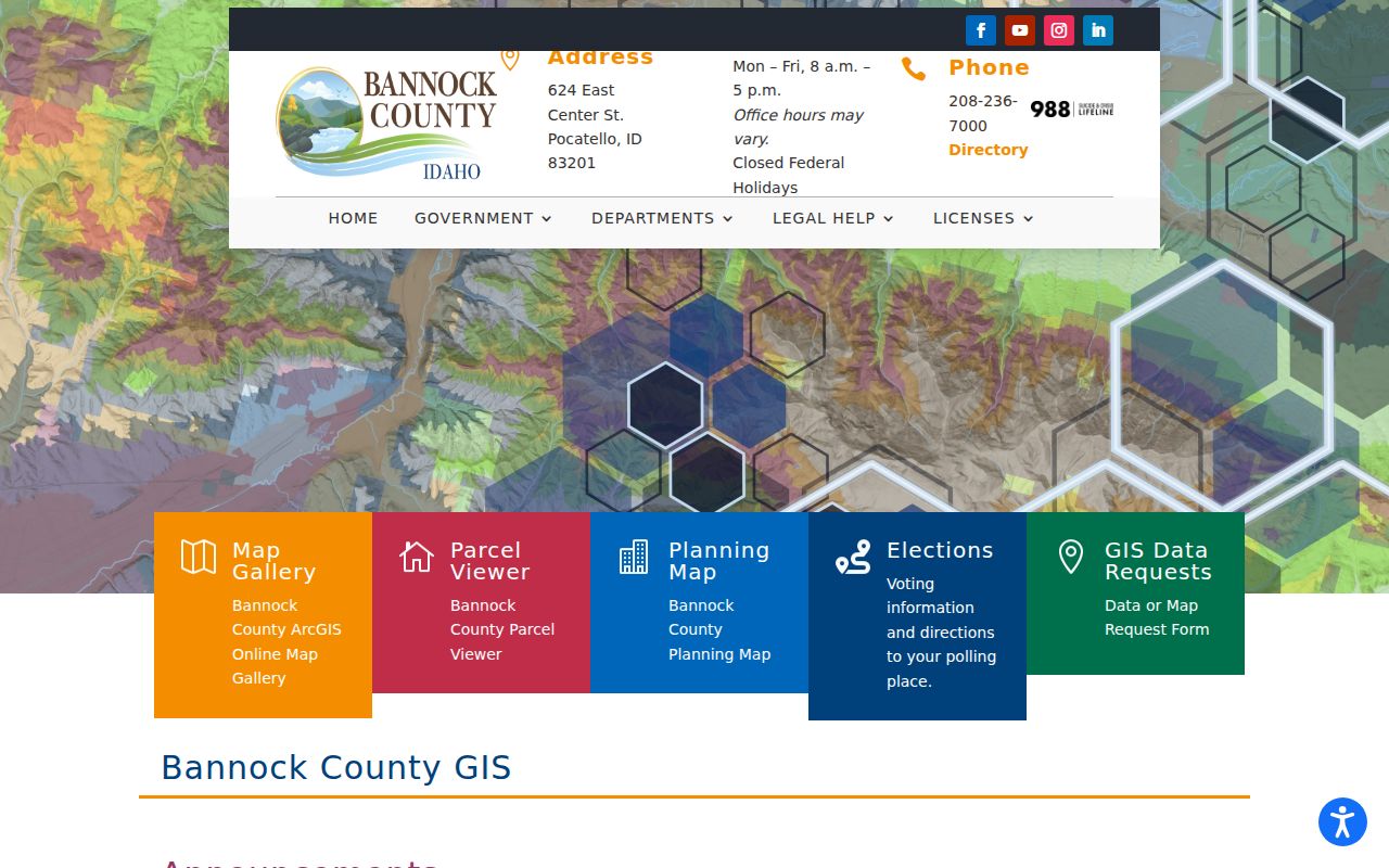
The GIS office page also helps avoid old bookmarks, since county guidance says the retired Surveyor Reference Map moved into the newer Planning Map.
Map Your Pocatello Neighbors
Save a dated snapshot for the target parcel and four directional neighbors. Record only the parcel number, map relationship, and public fields needed for the question. An alley, rail right-of-way, road, river feature, or drainage strip can make two parcels look closer than they are.
- Search the exact address in the county or city viewer.
- Record Parcel_PIN, PARCEL_NO, situs address, and legal description.
- Click each surrounding polygon and note whether it truly touches.
- Compare mailing and situs fields without assuming the owner lives there.
- Add planning, zoning, ZIP, or precinct layers only as geographic context.
A survey, not the viewer's approximate line, controls a boundary dispute. For a full named-street chain, use the Pocatello street directory rather than expanding a block snapshot into a broad list.
Pay close attention to parcels that share one mailing address. One owner can hold several lots, and a single tax address may serve land that is not contiguous. The inverse can also occur: a corner site may carry a situs label on one street while its entrance faces another. Record the polygon relationship first. Then add names only when they answer a lawful, narrow question about the immediate block.
Read Pocatello Neighbor Parcel Cards
The public Parcels_Public layer includes Parcel_PIN, PARCEL_NO, OwnerName, SitusAddress, LegalDescription, ZIP, year built, areas, values, and tax-charge fields. It also carries separate mailing-style address groups plus DEED and OLD_DEED. Those distinctions matter on a block with several lots under one owner.
Building and value fields can help distinguish an improved lot from vacant or separately held land, but they do not reveal a household. The parcel service supports identify, find, query, statistics, and pagination, with a stated maximum of 2,000 records. Those technical options are useful for public geography work. For an ordinary Pocatello neighbor search, clicking a few nearby polygons is clearer and less likely to gather names that have no bearing on the immediate question.
- Situs address
- The physical location assigned to the parcel.
- Mailing address
- The destination used for owner mail, which may be elsewhere.
- Parcel
- A mapped unit of land with its own identifier.
- Legal description
- The recorded lot, block, subdivision, or survey wording.
Record the map date. A current owner field is a public property fact, not proof of every occupant or proof that the named owner is physically present.
Pocatello Neighbor Precincts Aren't Rosters
VoteIdaho is designed for an individual match using personal search details. It is not an address-wide public browse tool. Idaho Code section 34-437A governs public voter-list fields, while the voter card's identifying numbers and signature stay restricted.
A lawfully released list may include street or mailing address, county, gender, age, party, and participation yes-or-no. It never reveals a vote choice. Address Confidentiality Program participants and other protected voters may be withheld. Therefore, map precinct context around Pocatello neighbors without claiming it is a full block roll.
The Elections office at 141 N 6th Avenue is the local fallback for current precinct maps, sample-ballot routing, and questions about voter-record access. Its published hours are Monday through Friday, 8:30 a.m. to 4:30 p.m., and the phone is 208-236-7333. Ask what geographic product is available and what fields can lawfully be supplied. A precinct may cover far more than one Pocatello block, so a precinct count or polling site should never be assigned to a specific set of neighbors.
Six Pocatello Neighbor Associations
The latest FY2026 city community-agency document names six central groups. It gives a useful civic geography layer, but no official public membership roster was located. The FY2025 version listed five and omitted Mountain View, so even the organization list must be treated as a dated snapshot.
| Association or program | Public evidence | Roster status |
|---|---|---|
| Bonneville | FY2026 city list | No public member list found |
| Alameda | FY2026 list and planning context | No public member list found |
| Lewis and Clark | FY2026 list and central plan | No public member list found |
| Neighborhoods of Historic Downtown | FY2026 list and Old Town context | No public member list found |
| College | FY2026 list and university context | No public member list found |
| Mountain View | Latest FY2026 snapshot | No public member list found |
| NeighborWorks Pocatello | Umbrella and event context | No official roster found |
Use association names to locate public meetings, projects, and events. Do not turn a civic label into a list of inferred Pocatello neighbors.
Historic Pocatello Community Ties
Older blocks can be studied through collection-level records at ISU, Marshall Library, and the Bannock County Historical Museum. ISU holdings include veteran material, Mountain View Cemetery maps, railroad collections, family papers, photographs, and the Bannock County Images project. Newspapers add meeting notices and address references.
These sources can reconnect a veteran, relative, or civic organization to a place without claiming a current household. Ask an archive about access, provenance, and copy limits. No official public HOA, block-watch, congregation, or civic-club membership directory was found.
Marshall's local newspaper chain is especially useful for the historical layer. Pocatello Tribune microfilm covers January 1895 through September 1949, followed by Idaho State Journal microfilm from October 1949 to the present. Search a cross street, organization name, meeting site, or dated event as well as a surname. OCR from the digital archive can miss initials and unusual spelling, so confirm a result on the scanned page before linking it to a block.
Pocatello Neighbor Boundaries Keep Moving
The city's March 2026 University Area Plan uses an ArcGIS survey and story map for a ten-year planning process. That timely project shows why a planning area is not the same thing as a parcel boundary, ZIP, or postal city. It can change through civic planning without changing who owns a lot.
Central labels include Lewis and Clark, Alameda, Historic Old Town subareas, Bonneville, College, and Mountain View. Proposed labels range from Northgate and Hawthorne to University, West Bench, South Park, and Indian Hills. Use those names to filter plans and news, not to infer residents.
Official Records for Pocatello Neighbors
Commercial neighbor tools often blend public and purchased data. Records can be stale, merge same-name people, or hide the source date. Official Pocatello and Bannock County layers are narrower, but each fact has a custodian and a clearer meaning.
| Question | Official route | Commercial category risk |
|---|---|---|
| Which lots touch? | County parcel geometry | Unclear map date |
| Who owns the lot? | Assessor plus recorded deed | Stale or merged names |
| What civic area applies? | City planning and agency files | Unstated boundary source |
| Who lived there before? | Dated directories and archives | No visible provenance |
For source-based work, follow the official map, Recorder, Elections office, and library or archive. A failed web form should lead to a counter, phone call, or written Idaho Public Records Act request, not an unsupported conclusion.
Privacy Limits for Pocatello Neighbors
Utility accounts, delivery data, protected voter details, sealed court matters, and confidential vital records do not become public because an address is known. Idaho's Address Confidentiality Program supplies eligible survivors a substitute mailing address and confidential voter handling. Stop when a protected or safety-sensitive address appears.
A public owner field is not a license to publish a household list. Keep only the minimum facts needed for property curiosity, civic participation, reconnecting, or personal safety awareness.
Lawful use. Use Pocatello neighbor records to understand a block, not to watch, harass, intimidate, or harm anyone. Verify each fact with its custodian.