
Walk Pocatello Streets by Address
A sound street-by-street search begins with the mapped site, not a guessed name. Bannock County separates the physical site address from the address used for tax mail. A parcel record can identify a public owner field and land description, but it cannot list each person who lives there. Deeds establish interests in land. A directory, dated newspaper, or voter record may offer evidence of residence at one point in time. Keep the source and inspection date beside each result.
- Locate the address through the Bannock County Parcel Viewer. Save both parcel identifiers, the situs address, legal description, owner field, and date checked.
- Pan along the street in GIS. Click each parcel needed for the question rather than assuming every nearby point belongs to one lot.
- Take the public owner and legal description to the Recorder. Read the deed because a map label does not prove a transfer date.
- For a known person, use VoteIdaho's name-and-birth-date workflow. It is not an address-wide browse tool.
- For an older occupant, compare directory years, Sanborn sheets, and newspapers, then confirm the name in a second source.
This Pocatello street directory flow prevents a property record from turning into a household claim. It also creates a stable bridge when a street number changes or a parcel is divided. The legal description and parcel number travel more reliably among the Assessor, GIS, Planning, and Recorder than a typed address alone.
Pocatello Street Directory Parcel Keys
The Bannock County Parcel Viewer is the public map route from the Assessor page. Its Parcels_Public service supplies the verified field schema. The map interface can change, so do not assume every database field appears as a text-search box. Map identify and parcel clicking are the documented public methods.
| Parcel field | Format | Street-search use |
|---|---|---|
| Parcel_PIN | 14-character string | Stable parcel bridge |
| PARCEL_NO | String | Separate county parcel reference |
| OwnerName | Display field | Tax owner, not a household roll |
| SitusAddress | String | Physical site address |
| Address / CityStZip | Strings | Tax mailing fields |
| LegalDescription | String | Deed and plat bridge |
| DEED / OLD_DEED | Strings | Public deed-reference clues |
The service also exposes geometry, mapped acreage, building characteristics, values, and tax-charge fields where populated. It supports identify, find, query, pagination, and several data formats, with a maximum of 2,000 records. These tools can inspect a block, but the county does not state a historical cutoff or update schedule for the current layer.
The Bannock County Assessor interface links the official parcel route pictured below.
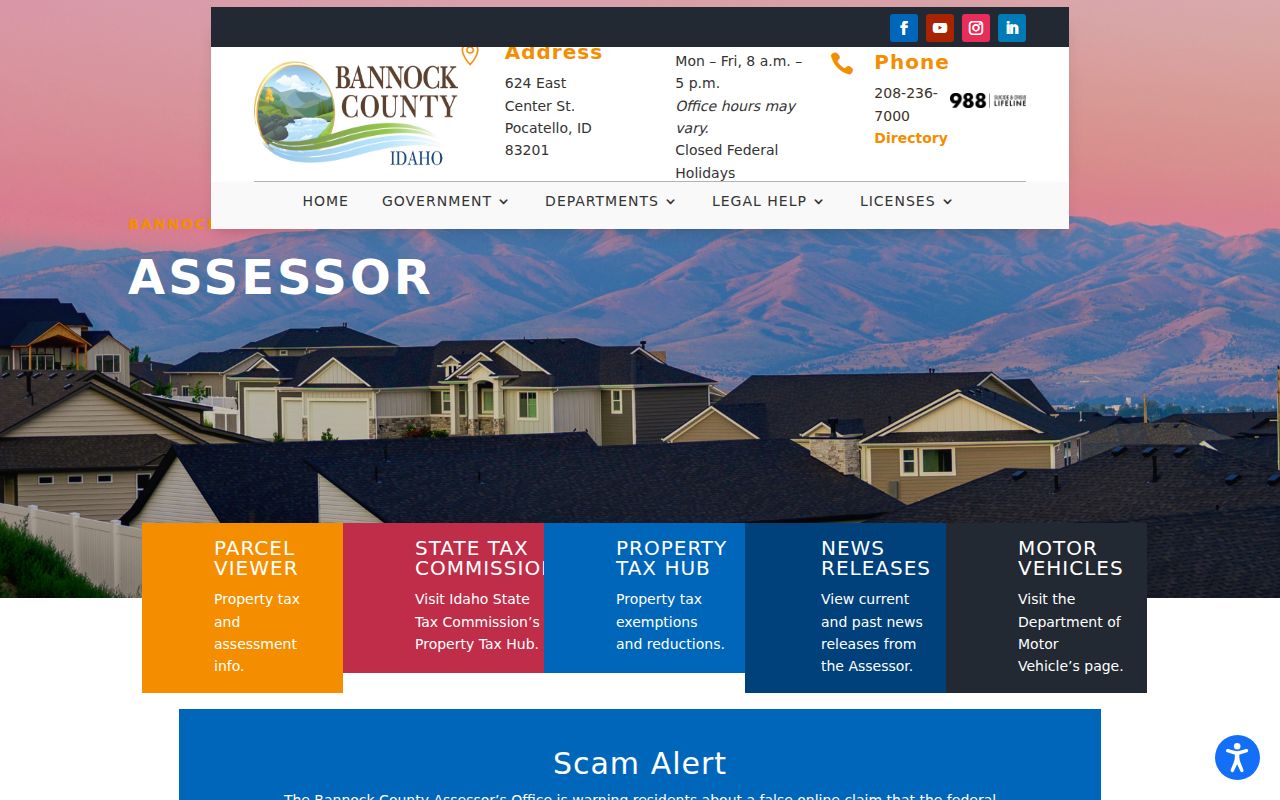
Use the office page to confirm current contact details before recording a parcel result.
Separate Pocatello Address Fields
Situs address means the physical location assigned to a parcel. Mailing fields show where a tax notice goes. They can differ when an owner gets mail elsewhere, an organization owns the parcel, or one mailing address serves several sites. OwnerName identifies the tax-record owner. None of these fields proves who was physically present on the search date.
- Parcel
- A mapped unit of land with assessment and record identifiers.
- Situs address
- The physical site address, distinct from tax mail.
- Plat
- A recorded map of lots, blocks, boundaries, or a subdivision.
- Criss-cross directory
- A volume arranged by address or street. A separate Pocatello run was not confirmed in the official holdings reviewed.
When address types conflict, save both. Give the Recorder the parcel number and legal description, and ask the Assessor which field reflects the mapped site. Never select the field merely because it fits a hoped-for result.
Browse Pocatello Street Parcels
The Pocatello GIS page links the city's public map, county parcels, planning, annexation, flood, utility, and other layers. County services add building footprints, subdivisions, tax codes, ZIPs, zoning, and election geography. These are location layers, not hidden resident lists.
Start with one confirmed site and pan one parcel at a time. Note polygon edges, cross streets, alleys, rights-of-way, and each parcel ID. A property across an alley may look adjacent but be legally separate. Approximate viewer lines do not replace a licensed survey in a boundary dispute.
The official Pocatello GIS landing view shows the map choices used in this by-street workflow.
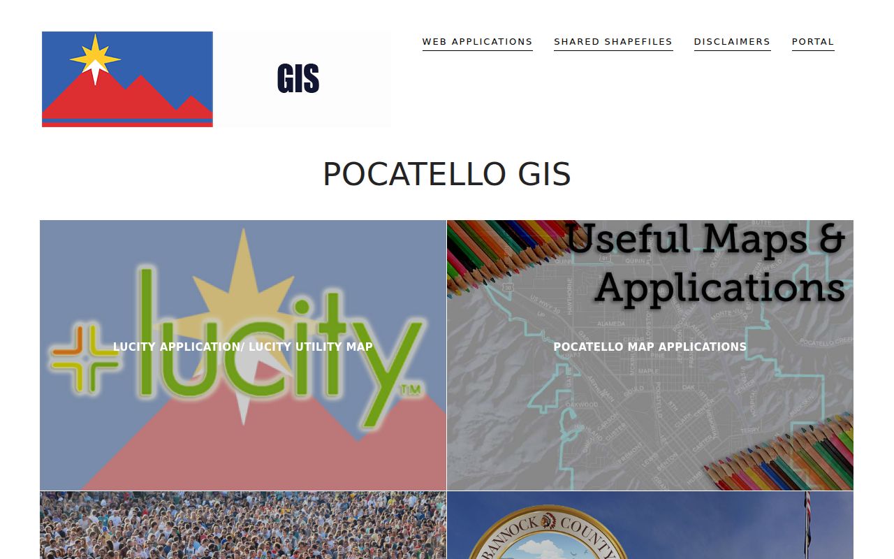
Open maps through the current page because saved layer links can move.
Address-Keyed Pocatello Street Records
No single Pocatello street directory contains a complete current roll. Each custodian answers a narrower question, so match the record to the claim.
| Address source | Custodian | Useful result | Access path |
|---|---|---|---|
| Parcel layer | Bannock Assessor/GIS | Owner, situs, mailing, legal and building fields | Free map and REST service |
| Recorded instruments | Bannock Recorder | Parties, instrument, date and legal description | Tyler index, counter or request |
| Permits | Pocatello Building | Application, review, inspection and status trail | eTRAKiT by address |
| Voter record | County Elections / Idaho SOS | Matched registration and precinct context | VoteIdaho or governed file request |
| Directories and maps | Libraries and archives | Dated occupant, business, phone and building clues | Microfilm, reading rooms and digital archives |
The parcel and legal description connect maps to deeds and plats. The street label connects permits, directory pages, newspapers, and city notices. A voter lookup needs a known name and birth date. Idaho's public voter list includes selected fields, but excludes vote choice and restricted identifiers. Address Confidentiality Program participants and protected voters may be withheld.
The recorded sources also differ in time. A parcel layer is a current snapshot with no published archive cutoff. A deed is tied to its recording date. A permit has an application and inspection trail. A voter result reflects the election system when checked, while a printed directory belongs to its stated publication year. Write the date beside the fact before comparing two addresses on the same street. That small step keeps a present owner from being matched to an old permit or a historic occupant without support.
If a portal fails, use the county counter or written request. The Bannock form accepts a custodian, record type, date range, details, and a choice to inspect or receive copies. It can be emailed or filed with the Clerk and warns against mailing or telephone-list use under Idaho Code §74-102.
Follow Pocatello Streets Into Deeds
The Bannock County Self-Service index is the verified online route. Its disclaimer calls the index a guide, asks users to try spelling variants, and warns that data can change. The county says land records created since 1999 are scanned and viewable online. The accepted search fields and exact older cutoff were not exposed in research.
Translate the address to a parcel and legal description. Ask for the current acquisition deed, read its grantor and grantee, then search the grantor as an earlier grantee for the same land. Repeat backward and check legal continuity after a split or lot combination. Older books, courthouse files, microfilm, FamilySearch, ISU, and the Idaho State Archives can fill gaps.
The Bannock County Recorder is in Room 211 at 624 East Center Street and can be reached at 208-236-7340. The office records deeds, water-right documents, adjudications, plats, surveys, and other instruments, with different handling for some record families. A general electronic index hit is not a certified copy. Ask the office for the instrument, image route, or certified version that fits the research need.
A deed shows a legal interest, not every occupant. Historical volumes can supply a dated name without changing the deed's meaning. The Pocatello city directory collections explain those year runs and printed abbreviations.
Pocatello Permits Follow Addresses
Pocatello's permit page and eTRAKiT route support address searching for building, fire, and engineering permits, land-use applications, and certain licenses. The system launched July 30, 2024. It lets users apply, upload plans, view comments, track status, schedule inspections, and pay fees. Its exact result fields and oldest backfile date were not exposed, so treat it as a current active, closed, or expired route.
The captured city permit page shows the official Pocatello street directory entry.
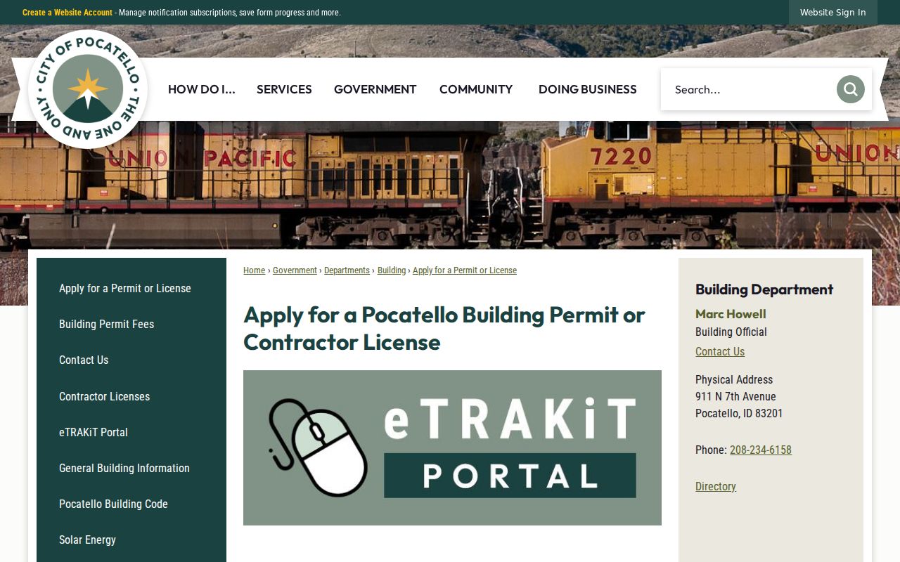
A permit may name an applicant and date work. It does not prove who occupies the site.
Pocatello's 1901 Street Bridge
Pocatello Ordinance 89 explains why an old address search may fail. Street-name changes passed May 21, were approved May 22, and were published May 23, 1901. Historic district studies cite that sequence while pairing addresses with Polk directories and Sanborn maps.
Search both old and current wording. Match the lot, block, legal description, cross street, and building shape on Sanborn sheets. Local editions cited span 1892, 1900, 1907, 1915, 1921, 1948, and 1963 for Old Town. The Library of Congress May 1921 set has 37 sheets. A map shows street and building context, not people.
Historic district studies for Old Town, Westside, and Lincoln-Johnson are useful bridges because they cite both directory years and map editions for named Pocatello areas. Railroad growth and annexation can also change the geographic frame around an address. Preserve the neighborhood label as context, but do not treat a planning district, ZIP, or historic district as proof that a particular person lived inside it.
One household can seem to vanish between Pocatello street directory years when only the printed street name changed.
Bannock County Assigns Addresses
Bannock County Planning usually assigns an address with the first building permit. Its guidance says an ordinary address is not issued without an existing structure or permit. Agricultural-exempt structures and those under 200 square feet fall outside that process. Planning also separates approximate viewer lines from boundaries set by a licensed surveyor.
The office is at 5500 South 5th Avenue, 208-236-7230, development@bannockcounty.gov. Hours are Monday through Thursday, 8 a.m. to 5 p.m., and Friday, 8 a.m. to 1 p.m.
The current Bannock County Planning page below is the address-assignment source.
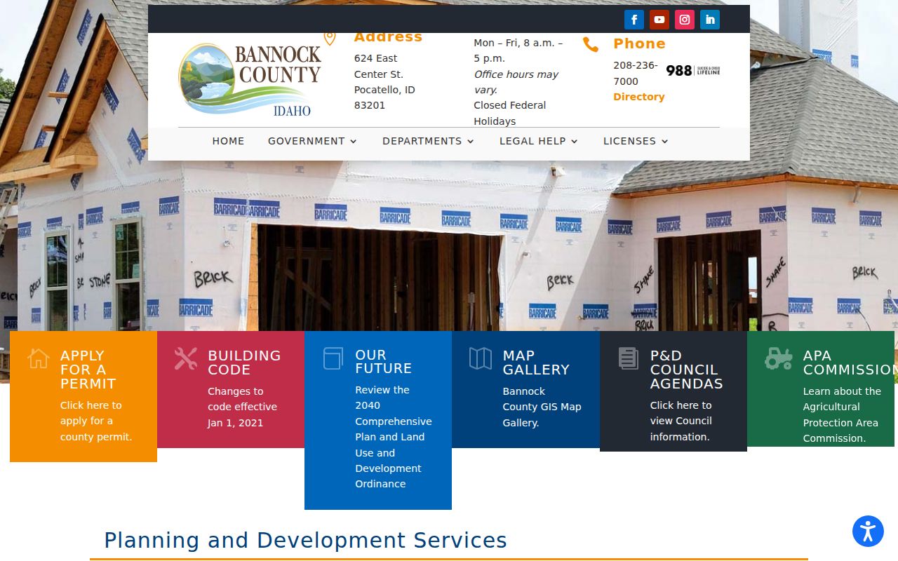
Ask Planning about an unassigned site; use the Recorder for title documents.
Limits of Pocatello Street Records
A Pocatello street directory built from official sources remains incomplete. A parcel layer does not list all people at a site. The voter tool omits unregistered or protected people and never reveals vote choice. Driver and vehicle address data is restricted under Idaho Code §49-203. Public utility and delivery-customer lists were not located.
A permit applicant may differ from an owner or occupant. A printed directory can omit a person, preserve an old spelling, or show a business. Commercial compilations may be stale or merge same-name records. Treat them only as unverified leads and return to the dated source.
Lawful use. Use Pocatello address records only for lawful personal research. Never use a public address to stalk, harass, threaten, or expose a protected person.
For a dispute, contact the custodian. The Assessor handles parcel data, the Recorder supplies instruments, Elections controls voter records, and the City keeps its permit file.