
Pocatello ZIP Code Coverage
The current USPS FAST labeling list links six verified codes with Pocatello, but its labels describe postal operations rather than exact neighborhood polygons. The Pocatello ZIP code directory therefore separates what the list confirms from what must still be checked by address. Only the main and station associations shown in official sources are stated below. Where the source did not classify a code as delivery, PO-box-only, or unique, the table does not guess.
| ZIP Code | Areas Covered | Post Office | Notes |
|---|---|---|---|
| 83201 | Central or main Pocatello label | Pocatello Post Office, 730 E Clark St. | Main current label; verify each address |
| 83204 | Pocatello and Bannock Station label group | Bannock Station, 102 S Main St. | FAST grouping also associates 83202 |
| 83205 | Alternative Pocatello grouping | Grouped with Pocatello 83201 | No distinct neighborhood should be inferred |
| 83206 | Alternative Pocatello grouping | Grouped with Pocatello 83201 | Delivery or box distinction not confirmed |
| 83209 | Alternative Pocatello grouping | Grouped with Pocatello 83201 | Use a full address in USPS lookup |
| 83202 | Pocatello label with Chubbuck-area ambiguity | Gateway Station, 1750 Flandro Dr. | Local usage and current grouping can conflict |
Older operational references also mention 83203, 83207, and 83208, but they were not verified as current Pocatello delivery codes in the inspected FAST list. They are omitted from the current coverage rows for that reason. USPS address lookup remains the best source for a live delivery answer, while the county ZIP layer supplies polygon context.
Verify Pocatello ZIP Codes
The USPS ZIP Code Lookup accepts company, street address, apartment or suite, city, state, and ZIP. Enter the full address whenever possible. A city-and-state search can return codes tied to a postal label, but only the full-address mode checks the delivery code for one place.
| USPS field | Input | Why it matters |
|---|---|---|
| Company | Organization name | Helps format a business delivery point |
| Street Address | Number and street | Anchors the result to one delivery point |
| Apt/Suite | Unit detail | Distinguishes unit-level mail format |
| City and State | Postal city and Idaho | Tests the label used by USPS |
| ZIP | Known or proposed code | Checks the supplied delivery code |
The official USPS lookup interface is pictured below.
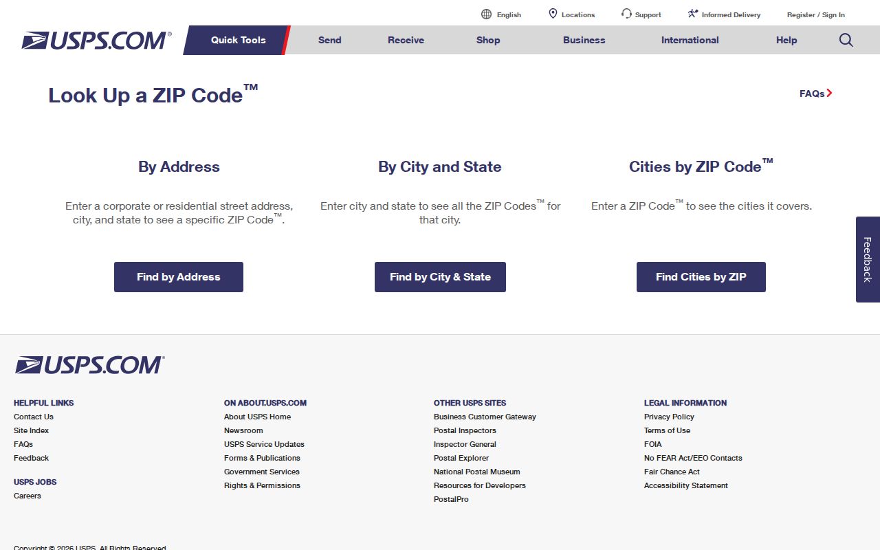
This screen verifies postal data. It does not confirm a resident, property owner, neighborhood, or municipal boundary.
Pocatello 83201 Main Label
The inspected FAST list associates 83201 with Pocatello's central or main delivery label. The Pocatello Post Office at 730 E Clark Street carries the 83201-9998 station address. Published retail hours were weekdays from 8:00 a.m. to 5:30 p.m. and Saturday from 10:30 a.m. to 2:30 p.m.; PO Box access was listed around the clock.
That office association does not draw the border of 83201. For a resident search, verify the address through USPS, then compare the parcel in Bannock County GIS. Treat the office name as postal evidence, not as a city-limit or neighborhood claim.
Pocatello 83202 and 83204
The most useful local geography finding is the 83202 and 83204 pairing. The current FAST list groups both under Pocatello ID 83204. Bannock Station is at 102 S Main Street with an 83204 station code. Gateway Station is at 1750 Flandro Drive with an 83202 station code.
Older and local usage often links 83202 with Chubbuck, which creates a Pocatello and Chubbuck label trap. Do not settle the question by city name alone. A full USPS result identifies the delivery code, county GIS identifies the mapped parcel, and the relevant city boundary layer determines municipal jurisdiction.
Geography tip. A Pocatello postal label can cross a civic line, so verify both USPS delivery and GIS jurisdiction before drawing conclusions.
Pocatello Alternative ZIP Labels
The current postal list associates 83205, 83206, and 83209 with Pocatello ID 83201. The checked source does not establish that each one maps to a distinct neighborhood, nor does it conclusively classify each as a delivery, box, or unique code. The Pocatello ZIP code directory keeps that uncertainty visible.
Search the complete address. If the result points to one of these codes, preserve the USPS output and the date checked. Then open the county parcel or ZIP layer for geographic context. A broad list of people assembled from a code would mix owners, non-owner residents, businesses, boxes, and addresses outside the expected civic line.
Note: A post office can serve more than one ZIP, and a ZIP can describe mail operations without naming a neighborhood.
Find Pocatello Residents by ZIP
ZIP narrows a geographic search; it does not create a resident roll. The county Parcels_Public service exposes a five-character Zip5 field and supports standardized queries. Its parcel records can include OwnerName, situs and mailing fields, parcel identifiers, legal description, deed references, and a parcel polygon. That owner field is a property record, not proof of everyone who lives there.
- Verify the full delivery address in USPS lookup. Save the returned code rather than relying on a typed city label.
- Open the Bannock ZIP polygon service and parcel viewer. Check whether the mapped address, code polygon, and city boundary are being read as separate layers.
- Use the parcel Zip5 field only where a lawful parcel question calls for it. Compare SitusAddress with mailing-style fields.
- Move from ZIP to a precise address or name in the correct official system. VoteIdaho has no verified ZIP-wide public search field.
- Confirm the final fact with its custodian. Once a code has narrowed the area, use the Pocatello street directory for address-level methods.
The process is: delivery address to USPS result, then GIS boundary and parcel, then a record-specific name or address query. Keeping those stages distinct prevents a postal code from being mistaken for a list of occupants.
Map Pocatello ZIP Polygons
Bannock County publishes an official Zipcodes FeatureServer. It provides a county polygon layer for mapped ZIP context. The exact safe public field list was not exposed during research, so it should not be described as a complete postal or resident database.
The county ZIP layer endpoint appears below.
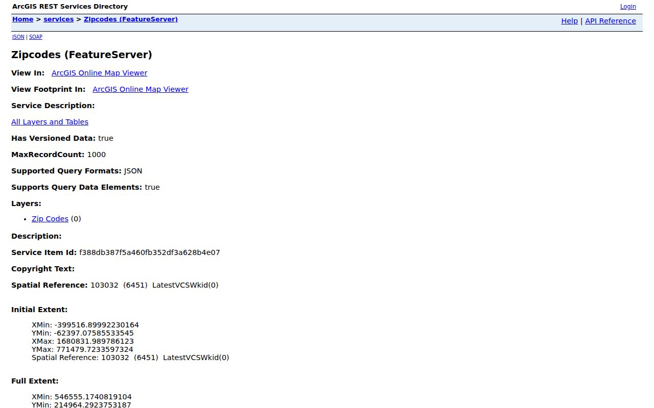
The layer is best used beside parcel and boundary maps. USPS remains the source for a current delivery code at one full address.
Pocatello ZIP Search Fields
Local systems treat ZIP in different ways. The public parcel service has a verified Zip5 attribute, but the map viewer's dedicated ZIP search box was not confirmed. The county publishes a ZIP polygon service. VoteIdaho uses personal identity fields, and Pocatello eTRAKiT offers address searching without a verified ZIP filter.
| Portal | ZIP use | Verified limit |
|---|---|---|
| Parcels_Public REST | Zip5 field and standardized query | Owner records, not a household roll |
| Bannock Zipcodes layer | County ZIP polygons | Not an official USPS delivery route |
| VoteIdaho | No ZIP field found | Name and birth-date workflow |
| Pocatello eTRAKiT | Address search | No verified ZIP filter |
| USPS lookup | Full address or city/state/ZIP | Postal data, not resident identity |
A valid query still needs a lawful purpose and careful interpretation. The Pocatello ZIP code directory should be used to sort geography before a person-specific official search, not as a shortcut around record restrictions.
Pocatello ZIP and City Limits
A USPS code is delivery geography. A Census ZCTA is a generalized statistical area. A county ZIP polygon is a mapping layer, and the Pocatello city line marks municipal jurisdiction. None can automatically stand in for another. A parcel outside city limits may still carry a Pocatello mailing label, while a city planning area can cross postal or neighborhood labels.
Pocatello's Comprehensive Plan identifies areas such as Lewis & Clark, Alameda, Historic Old Town, Bonneville, College, and Mountain View. These are planning and neighborhood names, not ZIP names. The 2026 University Area Plan uses its own survey and story map, which further shows how civic planning boundaries can evolve apart from postal routes.
- ZIP vs ZIP+4
- A ZIP identifies a broad delivery area; the four added digits refine a delivery segment or point.
- PO-box ZIP
- A code assigned mainly to post-office boxes rather than ordinary street delivery.
- Unique ZIP
- A code assigned to one high-volume organization rather than a broad area.
- Carrier route
- The set of delivery points served by one postal route, which does not equal a city district.
No inspected official source conclusively assigned Pocatello's alternative codes to all of these classes. Definitions help read postal data, but they should not be turned into unsupported local labels.